


To start, my Review of the Wahoo Roam is definitely going to be a bit narrow in scope, I don’t often ride road bikes, have a bunch of random sensors all over my body and bike, or keep meticulous logs of all my riding, so about 50% of the cool shit this device can do goes untouched by me. You’re probably asking, what the hell do you ride and why are you talking to me about this? Well, I like to do short mountain bike rides and longer touring routes, both of which are super rad to have a GPS device for. I also dabble in route creation, Im no Sarah Swallow, but I’ve been dipping my toes in the water and having a Wahoo has made that a more fruitful experience.

First off, let’s delve into my history with Wahoos. The guiding outfit I worked for was an early adopter of Wahoo’s Element computers, we switched from printed RWGPS routes/cat eye wired cyclo computers to full-on GPS navigation in one swoop. At the time I had barely used any form of GPS at all, having mainly used ACA printed cycling maps and other printed resources. As an absolute Luddite, I was slow to accept the computer and relied on my more competent roadie coworkers already familiar with such devices. At first, with no knowledge of RWGPS, I was handicapped and not able to adjust routes, but as I learned to make my own routes and how to edit the trip’s routes the tool became even more powerful and equally indispensable to our guides and guests. Now I was able to give guests a brief outline of the day and let them go off to play Pacman with the routed chevrons. As I was able to adjust routes trip to trip with changing conditions and have alternates already set up, the Wahoo computer gave me a whole new sense of control in a job filled with chaos. I can’t imagine not having the Wahoos on a tour anymore. There were still snags, in early generations you couldn’t drag and drop routes via USB on MacOS and the app was sometimes glitchy when trying to connect to wifi, not a huge deal for one but when you have 13 computers to sync it could be very frustrating. Those issues have been fixed and gotten much less buggy since then. After having spent a lot of time with both the Wahoo Element and Bolt computer, I was quite excited about what Wahoo had cooked up for the newest Roam release.

Let’s go through some of the features on the Roam, some new and some legacy to their other computers:
WIRELESS CONNECTION
This is probably the best part of Wahoo’s computers, which can also be the most frustrating when it isn’t working. Once you get your Wahoo Roam setup, then synced to your phone and home wifi, the system works seamlessly and you don’t ever have to plug it in to update or download rides/routes (unless you want to manually load a route). This was the big sell of the original Wahoo and I feel like it is still a big part of the identity of the brand. For people that use GPS computers daily, this is an awesome feature.
AUTOMATIC AND WIRELESS ROUTE DOWNLOADS & WORKOUT UPLOADS
The typical way for a Wahoo to sync is to be connected to your phone via Bluetooth which you will then select a wifi network for it to connect to and do its automatic syncing. This automatic sync with ping your connected accounts (Strava, Ride With GPS, Best Bike Split, Komoot, MTB Project, SingleTracks) for any changes and down/upload info. This is easy and quick if you are using the same wifi often such as a home wifi network, but if you are traveling or touring this can be snafu. The way the wahoo connects to wifi requires that the wifi have a standard username and password login. I was finding that many hotels, coffee shops, etc. are transitioning to networks that require a login page to be loaded on a browser or have an agreement to be acknowledged before connecting. These types of networks won’t work with your Wahoo to connect and sync, so I found myself hunting for smaller mom and pop establishments that would have a home-style wifi network I could connect to. In the same vein you could use a friend’s phone as a hot spot as well, but not your own phone. Another workaround is syncing the app with your cellular data or said wifi and then sending the specific route you want to the Roam via Bluetooth. A very sweet system with a simple issue that will probably not pertain to very many people, but one that became apparent often in my weird line of work and recreation.
ROUTE SYNC VIA BLUETOOTH
This can be very handy when you don’t have a computer or wifi around, but happen to have a copy of a route file on your phone or already synced in the companion app. This is the handiest with the newest addition to Ride With GPS with their mobile route planner. Once, on a recent ride, my crank started to fall off so I had to reroute through a section of trails that I wasn’t familiar with. I pulled out my phone, created a quick reroute back to my car on RWGPS, and sent it to my Roam and I was on my way.
TAKE ME TO (ON-DEMAND ROUTE GENERATION)
Before I realized that you can select/search a location with the companion app then send that to the computer to create a route automatically, this feature was lost on me. You can do this on the Roam computer but navigating the base map on the device is clunky and slow. The map also has no street names or markers on it so if where you want to go isn’t one of your previously saved locations it is difficult. This is one of the featured best used via the app instead of standalone on the computer.
GET ME STARTED (ROUTE TO STARTING POINT)
An exclusive feature to the Roam that is super helpful, especially for mountain bike rides, the Roam will ask you when you load a route, if you are not at the start of the route, if you would like it to automatically route you to the start of the selected route. Automatic directions to a trailhead, sweet! This is great for when you are traveling and don’t want to bother with getting to the start of a meetup or customizing a route from your actual location. I found that the Roam’s automatically selected routes that had bike lanes or even back streets as opposed to main thoroughfares as well, much appreciated.
BACK ON TRACK (ON-DEMAND REROUTING)
As a guide this is one thing I always wish I had on the earlier iterations of the Wahoos. On previous version it would just show a black line from where you veered off course, but with a black and white display and no ability to navigate the map this was no as helpful as it could be. The Roam will bring up an alternative route, clearly marked in blue to get you back to your route. The only time I had issue with this was sometimes with off-road routing, depending on which base map I used to create the route it may differ from the actual road, in those cases the Roam would try and reroute me while I was clearly on the correct route. Though that isn’t an error of the Roam, but more testament to how accurate it is.
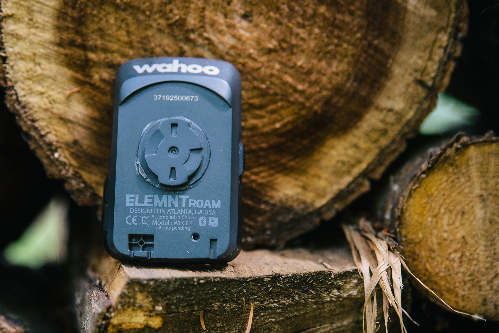
USB RECHARGEABLE BATTERY
This came in handy just the other day when I forgot to charge my Wahoo. I mounted the computer, plugged into a small battery pack stashed in my framebag, and charged the Roam all the way to the trailhead. On some previous multi-day trips I was able to get about two days of touring riding on a single charge, so the claimed 17 hours seems about on the nose for my experience.
FULLY CUSTOMIZABLE SCREEN
Like I mentioned in the beginning of the article, I don’t have much use for about 50% of the information and capabilities that the Roam provides. Typically the way I have had the various Wahoos setup has been a Map page with my distance and current speed, a climbing page with topo map and my ascending and descending totals, and current grade. With my final data page displaying other cumulative data like time of ride/resting, max speed, clock, miles to go on route, and a few others. These menus and the information are totally customizable quickly and easily in the companion app. When I was guiding I would be able to setup the computers to read whatever data metric the guest was interested in. When you go through all the possible menu options its is dizzying what can be displayed especially if you have heart monitors or power meters. It is so nice to be able to just cut through the mountain of possible data and just have the metric you care about shown, this allows for even the gnarliest dataholic to be appeased while not overloading someone who might just want to know how far they rode or how high they climbed.
LIVE TRACK PORTAL
Kind of a fun spot tracker-esque feature, which allows you to send a link, specify the length of time, and allow anyone with the link to track you while you ride. You will need to have your smart phone with you and linked to the Roam for this to work, so not quite full on Spot tracker satellite level stuff, but nonetheless handy for loved ones or friends who might want to keep track of where you are on a ride.
MOUNTAIN BIKE TRAIL INTEGRATIONS
This was the feature that I was most excited about for the new computers and for the most part it works well with some exceptions. You will find that the base maps on the computer included many trails and off road paths, which is handy and the automatic rerouting feature can be useful if there is a mapped trail for it to reroute you on. I only had access to MTB project for this, which is handy but once again somewhat clunky integration. You can favorite a ride in the app, then sync your wahoo (on wifi), which will snag a route file for your favorited rides. This works well if there happens to be a ride setup on MTB project that is exactly what you want to ride, if not you would have to use individual route files and switch at each trail junction, less than optimal. If you forget to do this before you leave your home wifi setup you can do it in the field, but it is slightly more complicated.
You would need to find the trail you want to ride, then open MTB project with a browser (not the app), and click the download GPX file tab on the trail you want to ride. Then you would open the file in the companion app and send it via Bluetooth to the Wahoo Roam, where it will bring up the route and ask you to start navigation. This can be handy when needed but is best practiced beforehand to make sure you get it sorted when it is necessary. While this integration is handy it is less useful if you are trying to link up many trails or if where you want to ride is not mapped on MTB project yet. I find researching on MTB project then creating a route with RWGPS to be a better way to do this personally. Though this is more of an issue with MTB Project than the Roam, it’s just sweet that you can keep a running list of favorite rides you want to do and they are all automatically downloaded for you.

Likes:
-Larger display similar to the original Element and a much-appreciated return from the Bolt
-Improved app and sync and ability to manually update via MacOS
-Seamless wifi updates and syncing
-That there is any kind of off-road trail integration
-Strong battery life and pass-through charging ability
-Ability to send routes via Bluetooth
-Live track portal
Dislikes:
-The color screen seems more cool than necessary
-Inability to navigate the base map during navigation (similar to on-demand routing)

As I stated at the beginning of this article, I am using only a narrow scope of what is possible with the Roam. There are tons of road cycling centric features that allow you to see other riders on the road, ride Strava’s segments in real-time, and pair with every type of measurement device under the sun, but those just aren’t things I really do or use. If that is your style of riding there are a few truly in-depth dives into the insane amount this computer can do with riding, training, and power data. One feature that I have enjoyed as well is that, due to being tethered to your phone, the Roam will give you an alert when you receive a phone call or text on the computer. Another way to let you leave your phone in your pocket/bag and not have to pull over and pull it out every time you hear an alert, but allow you not to miss an urgent call. The color screen, which isn’t full-full color, but more a few basic colors, is cool and can help digest the map data a bit quicker. It will present primary, secondary, etc roads in different colors and streams and rivers will come up as blue. Aside from the blue rerouting chevron being much easier to discern from the rest of the route or base map, I don’t see a huge need for the colors. Like I said it’s a cool feature that allows for a quicker understanding of what is being displayed but it’s not crucial to the use.

I have also found the Roam a great help when creating new routes that require complicated sections that may not appear on a routing app base map, I can just ride the section and get the generated GPS file from the ride to stitch into my route. For creating newer routes I find the Roam an indispensable ally. When I finish days of scouting, the routes are automatically uploaded to my RWGPS and then I can just stitch them together and a new route is born.

I have also been surprised by how strong the mount for the roam is, no matter how burly and rocky the trail got, the Roam has never disengaged or mount slipped. One time while swinging my leg over the top tube to get off my bike I karate kicked the Roam which sheered the mount from the computer, totally my fault. A little bit of Gorilla Glue and it has been good-as-new since then. I have been just using the zip tie mount and placing the computer on my top tube behind my stem to avoid issues with bar diameter and bag mounting on my handlebars, the extra security doesn’t hurt either.

In the end, I have been very happy with the upgrades to the newest iteration from Wahoo. When I originally heard the name, my mind’s eye hoped from an ability to navigate the base map while navigating a route to see route alternatives and places just off the route. While this isn’t a deal-breaker, I can usually use my phone for that, it would be something I would look forward to. Something I had also hoped for was possibly a mode to allow the screen to sleep between long sections without routing changes and then awaken when the turn warning came up or at the press of a button. This would in theory provide a way to save battery life on longer routes, like the GDMBR, where you might go tens of miles between any change en route. I’ve found that using my phone for constant turn by turn navigation was a huge battery suck, of which I find using the Roam to be a better alternative, but if the battery lasted even longer wouldn’t that be rad?

There is still some room for improvement from Wahoo, but the Roam is a step in a really good direction. The base functionality of the Wahoo I had grown comfortable with the Bolt and Element has stayed intact while adding a whole new layer of off-road functionality that tipped the scales in my personal interest in the device. When RWGPS came out with its mobile route planner, combined with the Bluetooth capability of the Roam, was when the Roam really started to shine for me personally. I am constantly figuring out new functions I had overlooked with the device, and am constantly impressed.